Policy support tool
Understanding the spatial relationships that link social communities to their ecosystems and biophysical landscapes
The aim of this resource is contributing a theoretical and methodological approach to the cultural and social valuation method section of the online catalogue. The analysis of socio-spatial relationships is suggested as a suitable conceptual basis to fully recognise the voices and values of a wider diversity of people. The resource follows an anthropological perspective in accordance with the work of Henri Lefebvre (in the volume The Production of Space [1991]). There is growing evidence for the importance of interpretation of Lefebvre’s conceptual triad for building a more comprehensive understanding of planning situations that involves recognizing sociospatial differences.
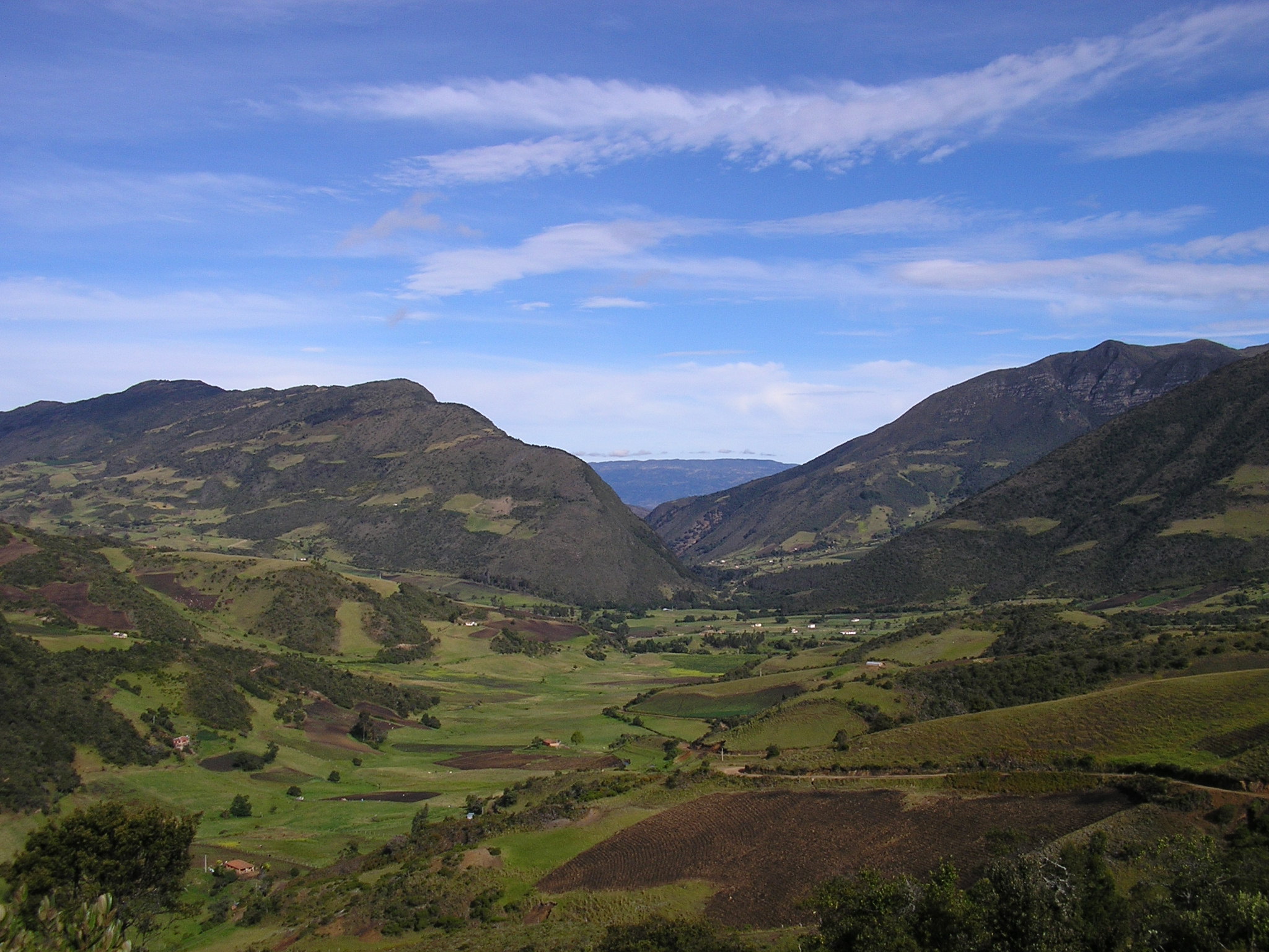
Mountain ecosystems cover around a quarter of the world's land area and encompass a large portion of global biodiversity as well as cultural richness. Following the conceptual triad of social space, three dimensions of high mountain ecosystems are lived by Colombian coffee farmer communities. Symbolic spaces embody coffee plots as sacred spaces where production modes cohabit with religious symbols of Catholic Church (e.g. crosses of different size with or without flower ornamentation). Similarly, stories are attached to particular places such as the home of the village elders and the first coffee growers in the area. Pragmatic spaces embrace production modes, land-uses, the particular locations and spatial sets characteristic of each farmer community. Production crop space is dynamic and changing due to farm sizes are reduced by property inheritance or trading. Farms have also increased the extent of crop fields because coffee profits promote the purchase of new plots. It is therefore likely that family groups are neighbours with different ties of kinship. Conceptualised spaces are discursively constructed by foreign agricultural institutions and coffee certification agencies (e.g. organic farms, conventional crops, agroforestry systems). Institutions have played a key role in increasing the area of coffee land-use by providing extension programs to farmers in order to improve agricultural practices. In addition, the arrival of organic certification agencies caused strong changes on daily practices and yield levels e.g. the decline in the amount of yield during the period of transition (up to three years) to get the certification.
Recognising symbolic and pragmatic spaces can inform fruitful dialogue about conceptualised spaces in order to strengthen participatory and inclusive policy formulation. This triad of spaces shows that the challenge for management relies on taking account of the diversity of socio-spatial relationships by capturing multi-actor values and attitudes toward the landscape.
The objective of the resource is to understand socio-spatial relationships in order to integrate and strengthen participatory and more inclusive policy formulation. Given the importance of the participation of local people in programmes of conservation and sustainable use of biodiversity and ecosystems, it is crucial to recognise that there are variety of types of socio-ecological space through being endowed with significance, meaning and multiple social relationships.
The overlapping character of symbolic, pragmatic and conceptualised spaces shows that sociospatial differences and their interrelationships are valuable inputs for planning and land management. Recognition of those spaces might contribute to help break down barriers, increase public engagement and transform environmental conflicts. One effort to render compatible the goals of good quality of life and better protection of nature at different scales is acknowledging the existence of tangible and intangible relationships with landscapes. They should be an essential part of broader management policies to conserve biomes in the pursuit of more sustainable ways of living together.
Indicators allow identifying changes and trends over time so managers can assess whether implemented activities are achieving goals of sustainable use of biodiversity and ecosystems. In this arena, based on the triad of social spaces, the following indicators can be useful:
- Changes in understanding/ acknowledgement of symbolic and pragmatic spaces by decision makers.
- Extent to which local community feels involved in management at different levels (e.g., decision-making, consultation, etc.).
- Extent to which community participates and agrees with agro-ecosystem management approaches.
- Change in level of knowledge exchange among scientists and local stakeholders about agro-ecosystem management.
- Number of awareness programs/activities undertaken and/or number of educative institutions visited, as part of a campaign in favour of highlighting sociospatial relationships of a wider diversity of people toward the landscape.
- Status of monitoring information management system.
- Outputs involved in promoting and disseminating the work widely (e.g. maps, toolkits).