Policy support tool
Training manual on spatial analysis of plant diversity and distribution
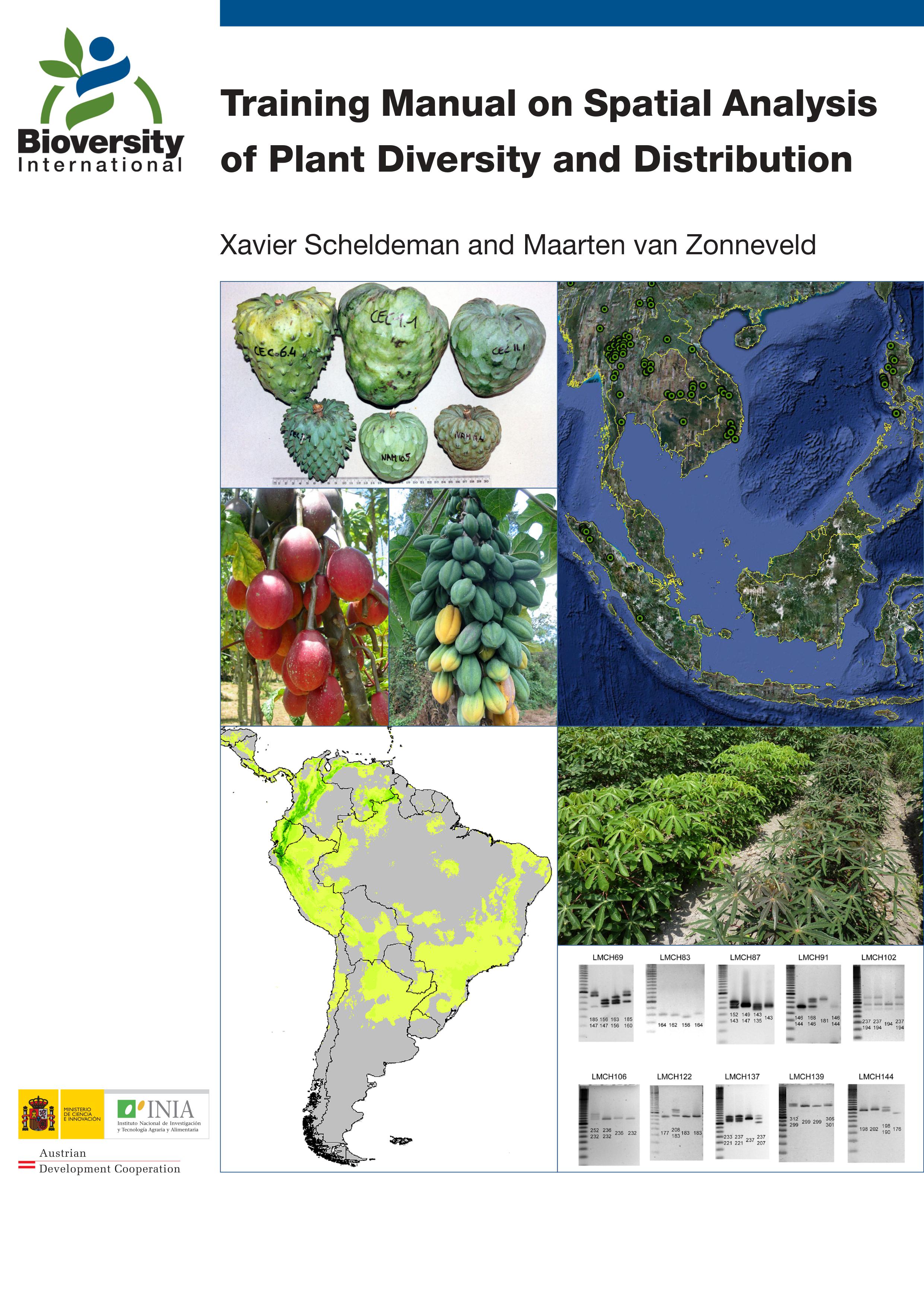
This training manual is intended for scientists and students who work with biodiversity data and are interested in developing skills to effectively carry out spatial analysis based on (free) GIS applications with a focus on diversity and ecological analyses. These analyses offer a better understanding of spatial patterns of plant diversity and distribution, helping to improve conservation efforts. The training manual focuses on plants of interest for improving livelihoods (e.g. crops, trees and crop wild relatives) and/or those which are endangered. Spatial analyses of interspecific and intraspecific diversity are explained using different types of data:
• species presence
• morphological characterization data
• molecular data
Although this training focuses on plant diversity, many of the types of analyses described can also be applied for other organisms such as animals and fungi.
Training manual for developing skills to effectively carry out spatial analysis based on (free) GIS applications with a focus on diversity and ecological analyses.