Policy support tool
Informing Strategic Efforts to Expand and Connect Protected Areas Using a Model of Ecological Flow, with Application to the Western United States
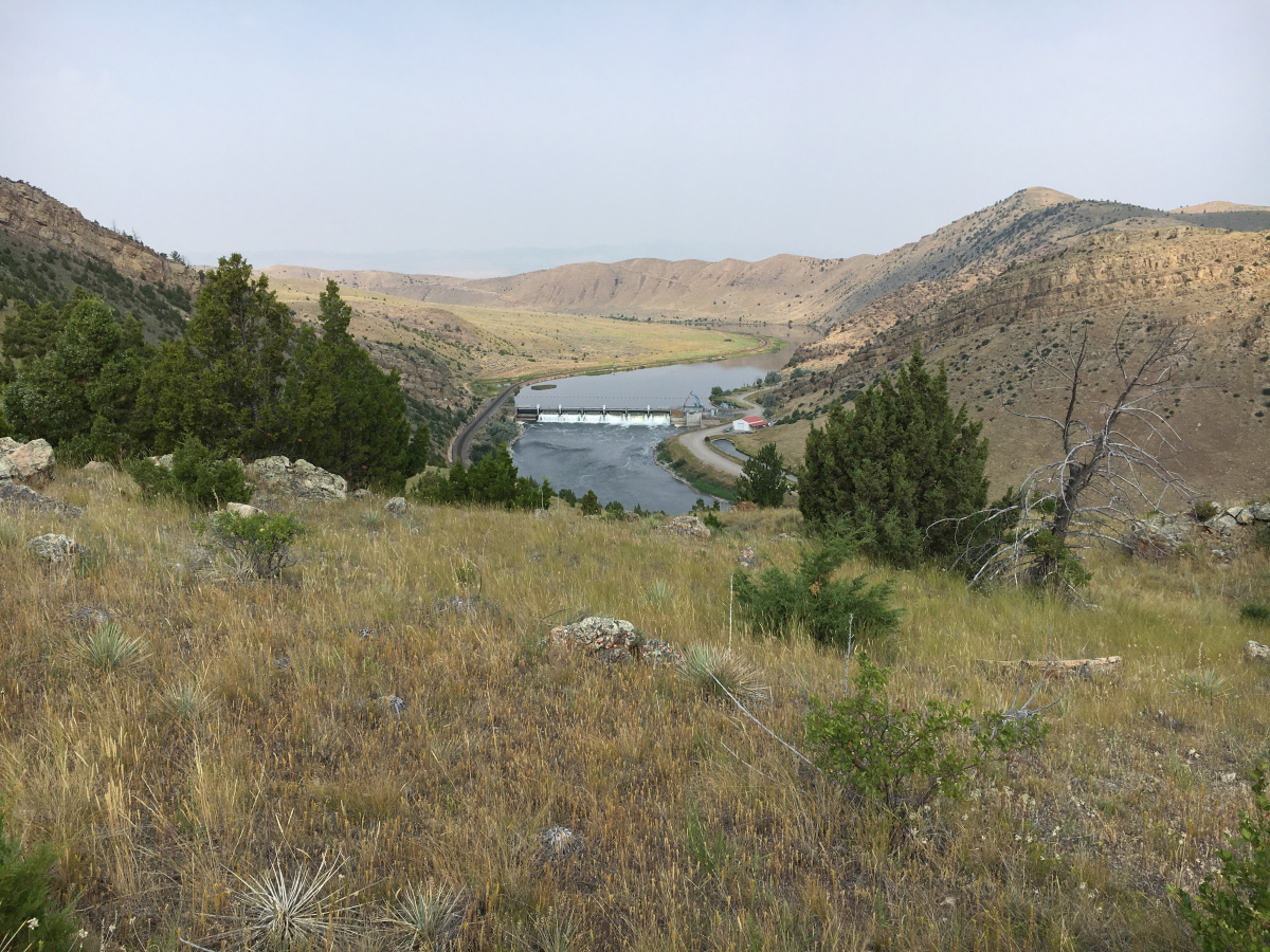
This resource models current ecological linkages and terrestrial movement patterns to identify public yet unprotected lands in the western United States which may have high ecological value and strong connectivity with existing protected areas.
Aim of the resource
This resource aims to aid managers in prioritizing currently unprotected habitat to enhance the integrity of protected area networks.
Do you want to add more details?
Yes